
preview

“I remember reading one time about sea level rise that a lot of times, if it’s fair weather, it’s not real noticeable. But if you have a hurricane, nor’easter, or a whole lot of rain, that’s when you can really tell the water’s up... I think I agree with that statement. That you don’t notice [sea level rise] until you have storm.”
howard B., ocracoke
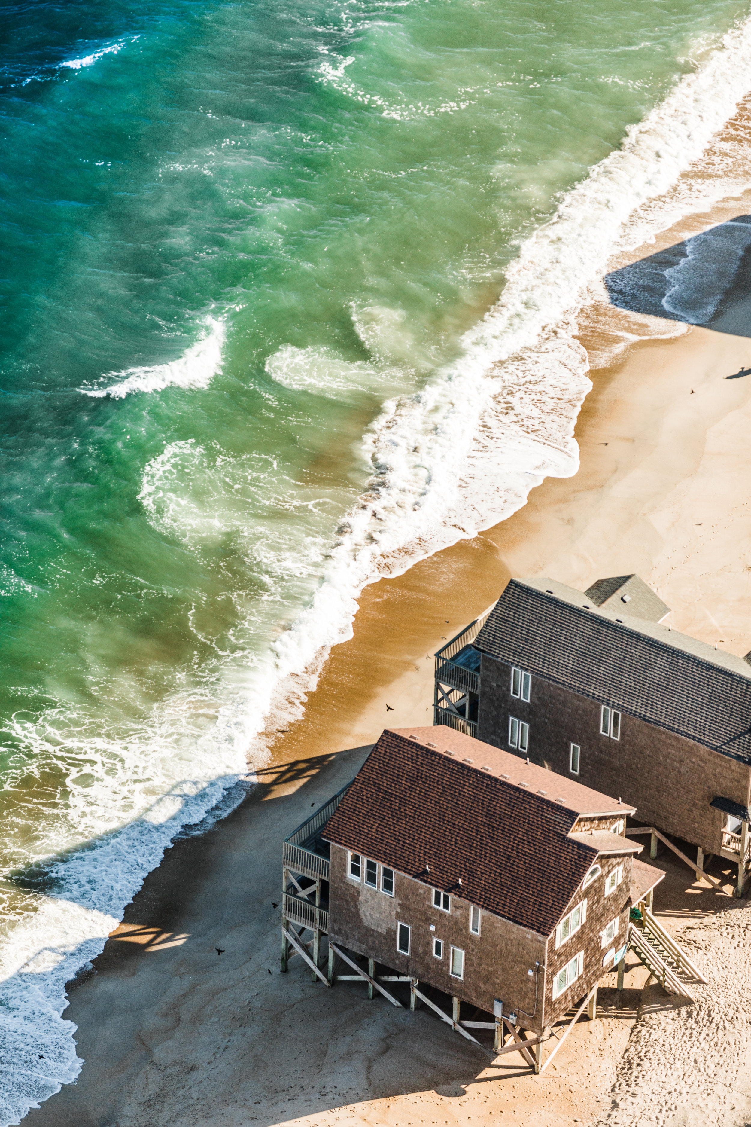
FIVE BIRDS
Hatteras Inlet, NC
Change is a constant along North Carolina’s coast. Natural processes, like erosion, wind, weather events, and tide change our shoreline’s appearance as sand moves from one place to another — sometimes opening and filling inlets, widening or narrowing beachfront, and altering the tide line of soundside creeks and marshes. Change also comes from people, whether through land management or coastal development, ranging from building living shorelines to installing bulkheads to dredging. While the shoreline moves and changes, it is more difficult for people and the structures we build to do the same.


“One of the biggest changes I’ve noticed is probably the dead pine trees on points of land from rising salt water. I noticed how they were declining recently. The pine trees are dying and it's not just erosion of the land from storms, it's saltwater intrusion. I’ve counted those trees. Three years ago there were 58 live pines. Last year there were 30 live pines. There are about 13 live pines right now.”
Penny H., Smyrna
SENTINEL GHOSTS
Swan Quarter, NC
Long before rising seas inundate land, habitats at the edges of our sounds will change. Ghost forests — remnant carcasses of trees that once filled maritime forests — are becoming more common as salt water penetrates farther inland and remains longer. Trees sequester more carbon than other types of vegetation, so carbon storage is a good indicator of vegetation type. New research has measured increasing losses in carbon storage between 2001 and 2014 along the edges of the Albemarle and Pamlico Sounds. The results indicate that forests are changing to marshes or being lost altogether. Sea level rise and wind tides may be factors, but fires, which dry out peat and wick salt water from the sounds into land, may also play a part.


“I remember as a boy Hatteras Inlet Coast Guard Station was abandoned... because of the erosion. So we watched the sea encroach on that and take parts of the docks, the boathouse, then the main building, the tower... You could see the tower for a while in the water and then pretty soon nothing. Now there’s just pilings. Many years later, still got the pilings. So we watch that. We local guys watch that evolution . . . where sometimes it builds out, sometimes it erodes away. That’s been a landmark for us.”
dwight B., hatteras village
STATIONED
Hatteras Inlet
In 1955, a hurricane washed the Hatteras Inlet U.S. Coast Guard Lifeboat Station on Ocracoke Island into the sea. The location of the remaining pilings, once on land, document the power of erosion over time. In the future, as climate and sea level changes, erosion patterns may accelerate.
Today, some North Carolina communities, like the Town of Nags Head, and counties like Hyde and Tyrell are looking to the past as they plan for the future. Will coastal change usher these communities toward higher land, as it did residents of Diamond City in Carteret County at the turn of the 20th century? Or, will local communities seek protective and adaptive measures to protect infrastructure, and also educate and support citizens as they plan for an uncertainty?


“If it wasn’t for the dike in here, and there’s probably 11,000 acres inside that dike, I dare say of that 11,00 acres you wouldn’t have but 500 or 600 hundred of it that would be farmable now. Twenty years ago, I coon hunted back of this dike... some two hundred yards out, at least. Beautiful woods. Dead marshland now. You can still see the snags out there where pine trees were on it.”
JW S., Swan Quarter
TIDE GATE
Swan Quarter, NC
A dike is a long wall, made of earth or materials like steel or concrete, built to keep out floodwaters. A system of canals, pumps and tide gates ensure that water inside a dike can still get out, and that creeks can still flow in during normal conditions.
The 17.7-mile dike surrounding Swan Quarter took 46 years to complete. The $13-million dike was first proposed to protect valuable farmland from wind-driven saltwater intrusion. When Hurricane Irene struck in 2011, the dike protected the village of Swan Quarter from soundside tidal surge. During tropical storm events in 2015 and 2016, however, farmers had to pump the village because winds kept the Pamlico Sound levels high for days, keeping tide gates closed and trapping floodwaters from heavy rain inside the dike.
In 2009, the Natural Resource Conservation Service estimated the dike provides over $707,000 annual economic benefit by reducing damages to homes, cropland, roads, and bridges.


“I told them, ‘Well, in 10 to 20 years,’ I said, ‘I might not be here to see it.’ I said ‘North River and Laurel Road's going to be gone.’ And they keep saying, 'Well how you know?' I say ‘Well I just got that instinct. You know. That it's gonna be gone. It's gonna be under water here.’ And they say, ‘You act like you God or something,’ and I say, ‘No, you sit and watch the weather, you listen at the weather, you look up at the sky, you look down on the ground.’ And I say, ‘Everything's changing. It’s changing.’ I say ‘I know God said it wouldn't be, he was not going to flood the earth no more and that's true but the floods is still coming.’”
PATRICIA S., NORTH RIVER
SUNRISE OVER THE PUNGO
Pungo River, NC
It may be easy to think of coastal change as primarily a beachfront issue, but it affects every landmass that borders water. Some of North Carolina’s most vulnerable places to change are inland, along the sounds and rivers.
